

WanderListen
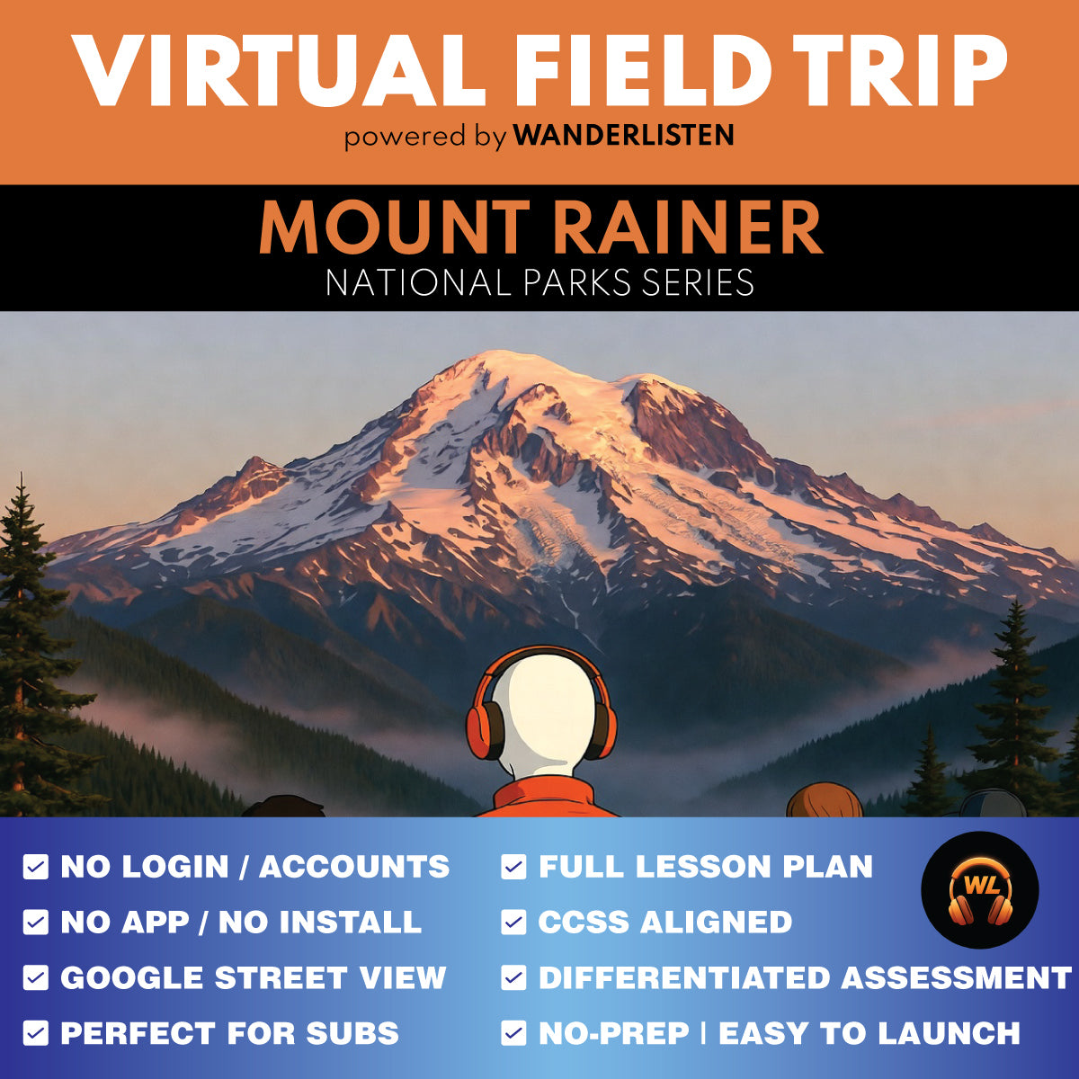
Mount Rainier National Park Virtual Field Trip App Lesson | Audio + Map + Quiz
Mount Rainier National Park Virtual Field Trip App Lesson | Audio + Map + Quiz
Couldn't load pickup availability
Classroom Use at a Glance
WanderListen Mount Rainier National Park Virtual Field Trip lesson for grades 6-8 and 9-12. Includes a 7-stop app-style audio + map tour, teacher guide, student worksheet, answer key, vocabulary, discussion prompts, End of Tour questions, Google Slides/PPTX worksheet versions, self-grading Google Forms quiz, printable MC quiz, and Start Here PDF. Designed for a 45-minute quick implementation or a 90-minute two-class lesson.
- Resource type
- Virtual Field Trip Lesson
- Grade band
- Grades 6–8 Grades 9–12
- Rating
- Not Rated
- Runtime
- About 22 minutes tour audio minutes
- Time required
- 45-90 minutes
- Prep level
- No Prep
- Subject
- Science Social Studies
- Classroom use
- Sub Plans Whole-Class Instruction Independent Work Homework Discussion Assessment
- Includes
- Teacher Guide Student Worksheet Answer Key Discussion Questions Vocabulary Google Forms Quiz Google Slides/PPTX Printable Quiz Start Here PDF
- Tech format
- PDF Google Slides Google Forms Google Docs PPTX DOCX ZIP
Take students into Mount Rainier National Park with a completed 7-stop WanderListen virtual field trip that turns an active volcano, glaciers, glacier-fed rivers, subalpine meadows, old-growth forest, Indigenous cultural history, river erosion, debris flows, and lahar hazards into a place-based classroom lesson.
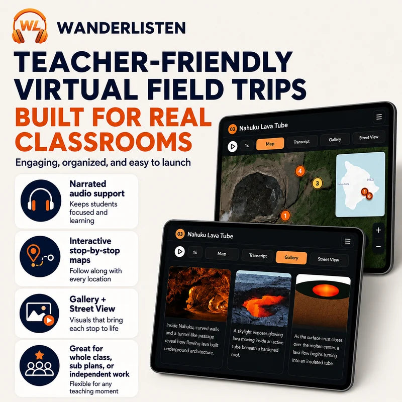
Students open a WanderListen app-style virtual field trip with narrated audio, map-based exploration, stop images, and classroom-ready response activities.
Try a complete WanderListen National Park lesson free first.
Get the Grand Canyon National Park Virtual Field Trip 100% FREE.
Teaching more than one park?
Get all 13 National Park virtual field trips in the complete WanderListen bundle.
What students practice
- Earth systems: how snow becomes glacier ice, moving ice erodes rock, meltwater transports sediment, rivers cut valleys, and volcanic slopes can generate debris flows and lahars.
- Visual evidence: how Paradise, Nisqually Vista, Glacier Bridge, Sunrise, Ohanapecosh, Box Canyon, and Kautz Creek help students connect visible landscapes to geologic and geographic processes.
- Ecology and climate: how elevation, snowpack, moisture, short growing seasons, subalpine meadows, and old-growth forests create different habitats around one mountain.
- Cultural landscapes and public lands: how the Ohanapecosh area preserves evidence of long Indigenous use and continuing Cowlitz/Taytnapam connections alongside the modern national park.
- Natural hazards and emergency geography: how glacier-fed valleys can become pathways for debris flows and lahars, linking the volcano to communities far downstream.
- Evidence-based writing: students cite tour evidence, interpret maps and images, compare environments, explain cause and effect, and support claims in short written responses.
What's included
- Completed WanderListen Mount Rainier National Park Virtual Field Trip access through the shared Google folder
- Teacher Guide with pacing options, differentiation notes, print/digital setup, standards support, discussion prompts, and full answer key
- Student Worksheet for the 7 tour stops with one Stop Observation Question per stop
- End of Tour questions for glaciers, rivers, elevation, forest ecology, Indigenous cultural history, erosion, debris flows, lahars, and evidence-based reflection
- Vocabulary section with key terms from the tour, including transcript-based context
- Self-grading Google Forms multiple choice quiz
- Printable MC Quiz version
- Google Slides/PPTX worksheet and print worksheet versions
- Start Here PDF that helps teachers make their own Google Drive copies and unlock the tour
Flexible pacing
- 45-50-minute quick implementation: brief setup, full virtual field trip, one question per stop, and a short wrap-up or quiz.
- 60-75-minute guided lesson: more time for glacier evidence, map exploration, climate and ecology comparisons, Indigenous cultural history, and hazard mapping.
- 90-minute two-class option: tour first, then discussion, End of Tour questions, and assessment.
Best fit: Grades 6-8 and 9-12 Earth and space science, environmental science, geography, volcanology, glaciers, watersheds, erosion, natural hazards, Indigenous history, national parks, and social studies enrichment.
Teacher note: This is a digital classroom resource built around a WanderListen virtual field trip experience. It is not a movie guide or YouTube clip lesson.
Share