

WanderListen
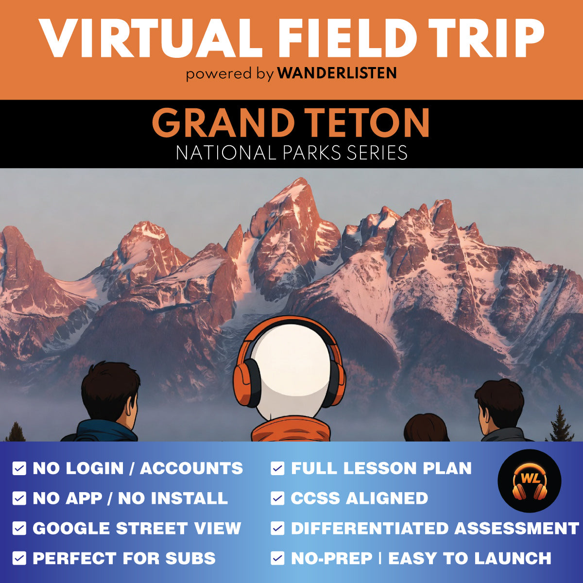
Grand Teton National Park Virtual Field Trip App Lesson | Audio + Map + Quiz
Grand Teton National Park Virtual Field Trip App Lesson | Audio + Map + Quiz
Couldn't load pickup availability
Classroom Use at a Glance
WanderListen Grand Teton National Park Virtual Field Trip lesson for grades 6-8 and 9-12. Includes a 7-stop app-style audio + map tour, 6-image instructional gallery, teacher guide, student worksheet, answer key, 10 vocabulary terms, discussion prompts, 7 Stop Observation Question blocks, 3 End of Tour questions, Google Slides/PPTX worksheet versions, self-grading Google Forms quiz, printable 10-question quiz, and Start Here PDF. Designed for a 45-minute quick implementation or a 90-minute two-class lesson.
- Resource type
- Virtual Field Trip Lesson
- Grade band
- Grades 6–8 Grades 9–12
- Rating
- Not Rated
- Runtime
- About 24 minutes tour audio minutes
- Time required
- 45-90 minutes
- Prep level
- No Prep
- Subject
- Science Social Studies
- Classroom use
- Sub Plans Whole-Class Instruction Independent Work Homework Discussion Assessment
- Includes
- Teacher Guide Student Worksheet Answer Key Discussion Questions Vocabulary Google Forms Quiz Google Slides/PPTX Printable Quiz Start Here PDF
- Tech format
- PDF Google Slides Google Forms Google Docs PPTX DOCX ZIP
Take students across Grand Teton National Park with a completed 7-stop WanderListen virtual field trip that moves from Cathedral Group Turnout and Jenny Lake to Signal Mountain, Oxbow Bend, Jackson Lake Dam, Colter Bay, and Mormon Row. The lesson turns fault movement, glacial carving, watersheds, wetland habitat, managed river flow, living Indigenous arts, homesteading, and sagebrush restoration into a connected place-based Grades 6-12 experience.
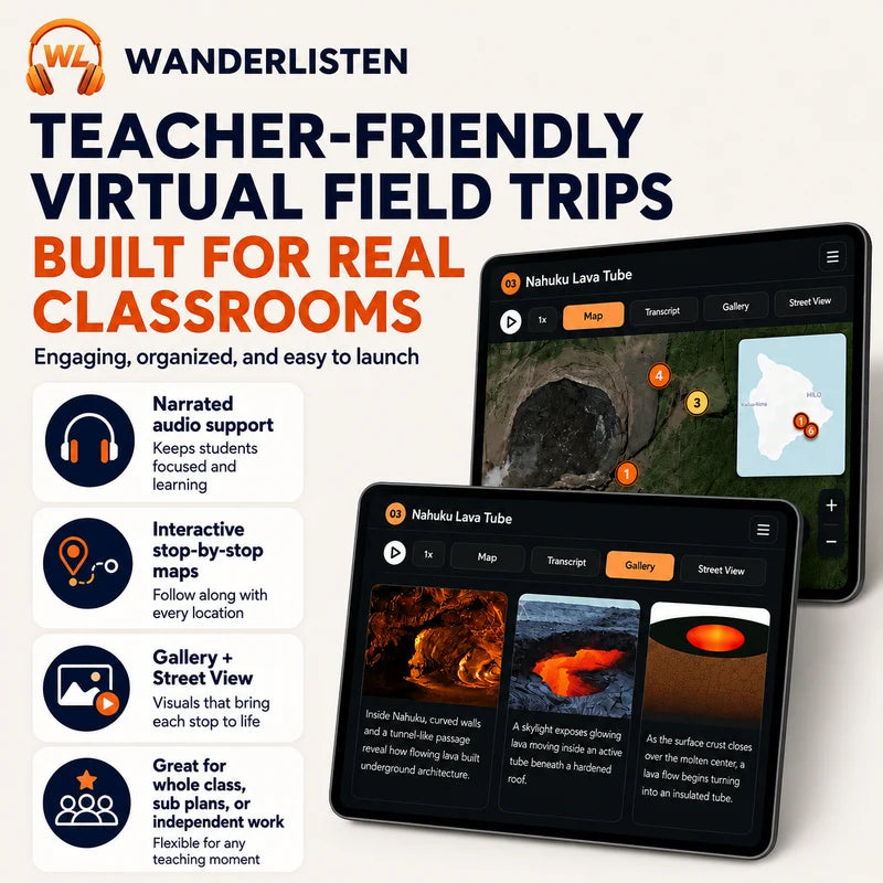
Students open a WanderListen app-style virtual field trip with about 24 minutes of narrated audio, exact map-based exploration, a 6-image instructional gallery, and classroom-ready response activities.
Try a complete WanderListen National Park lesson free first.
Get the Grand Canyon National Park Virtual Field Trip 100% FREE.
Teaching more than one park?
Get all 13 National Park virtual field trips in the complete WanderListen bundle.
What students practice
- Geology and landscape change: how movement along the Teton normal fault built the mountain-valley contrast and how Pleistocene glaciers later widened Cascade Canyon, carved the Jenny Lake basin, and deposited moraines.
- Watersheds and habitats: how snow, slopes, lakes, wetlands, and the Snake River form one connected water system, and why Oxbow Bend's slow water and shallow, plant-filled edges support a food web.
- Engineering and environmental tradeoffs: how Jackson Lake Dam changes the timing of water releases for irrigation while also changing sediment movement, gravel bars, channels, and downstream habitat.
- Cultural landscapes: how archaeological evidence and living artists at Colter Bay communicate different kinds of knowledge, and why the park's 24 Associated Tribes are distinct Tribal nations rather than one interchangeable culture.
- Land use and restoration: how Mormon Row homesteaders used irrigation and replaced sagebrush steppe with fields, and why modern restoration requires years of planting, monitoring, and treatment of returning smooth brome.
- Evidence-based thinking: students interpret map views and guaranteed gallery images, trace cause and effect, make predictions, compare systems, and evaluate management choices.
What's included
- Completed WanderListen Grand Teton National Park Virtual Field Trip access through the shared Google folder
- 7 narrated stops with exact map exploration and a 6-image instructional gallery
- Teacher Guide with pacing options, differentiation, standards support, discussion prompts, and robust answer keys
- Student Worksheet with 7 Stop Observation Question blocks and 3 End of Tour synthesis questions
- 10 transcript-matched vocabulary terms
- 10-question self-grading Google Forms quiz and printable multiple-choice quiz
- Google Slides/PPTX worksheet, Google Docs/DOCX, PDF, and print-friendly classroom versions
- Start Here PDF that helps teachers make their own Google Drive copies and unlock the tour
Flexible pacing
- 45-minute quick implementation: brief setup, full tour, one response per stop, and a short wrap-up; assign synthesis or the quiz afterward.
- 60-75-minute guided lesson: add fuller map and gallery analysis, worksheet responses, and selected synthesis questions.
- 90-minute two-class option: complete the tour first, then use vocabulary, discussion, synthesis, and assessment.
Best fit: Grades 6-8 and 9-12 Earth and space science, life science, environmental science, geography, geology, ecology, water resources, engineering, public lands, Indigenous history, land management, national parks, and social studies enrichment.
Teacher note: This is a digital classroom resource built around a WanderListen virtual field trip experience. It is not a movie guide, a YouTube clip lesson, or a slide-only virtual tour.
Share