

WanderListen
Glacier National Park Virtual Field Trip App Lesson | Audio + Map + Quiz
Glacier National Park Virtual Field Trip App Lesson | Audio + Map + Quiz
Couldn't load pickup availability
Classroom Use at a Glance
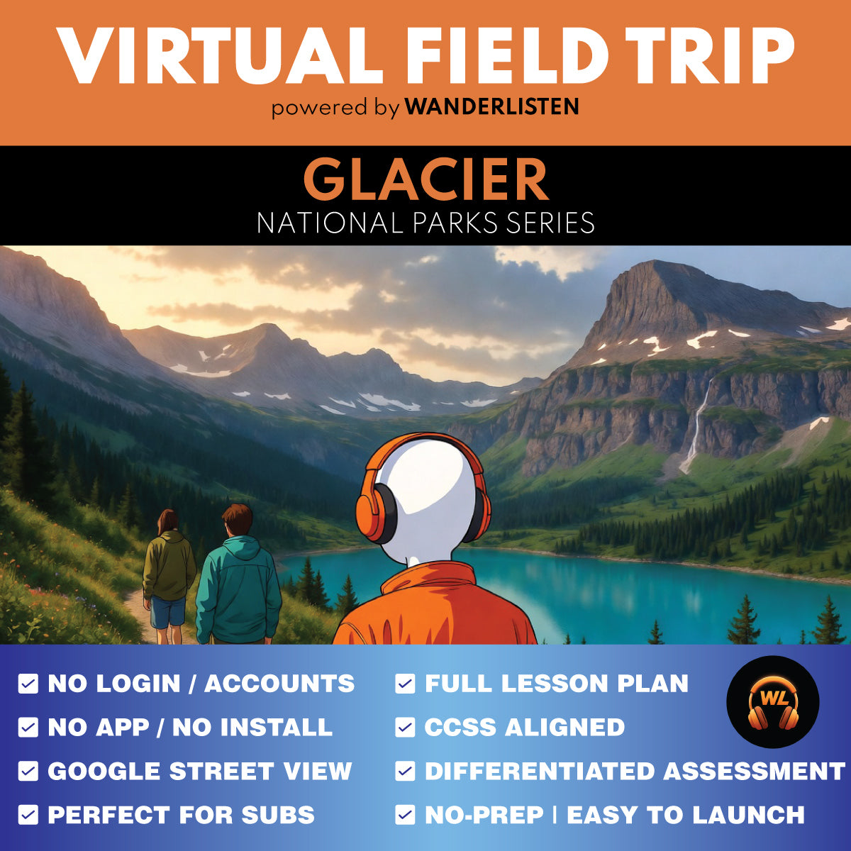
WanderListen Glacier National Park Virtual Field Trip lesson for grades 6-8 and 9-12. Includes a 7-stop app-style audio + map tour, 8-image gallery, teacher guide, student worksheet, answer key, 10 vocabulary terms, discussion prompts, 7 Stop Observation Question blocks, 5 End of Tour questions, Google Slides/PPTX worksheet versions, self-grading Google Forms quiz, printable 10-question quiz, and Start Here PDF. Designed for a 45-minute quick implementation or a 90-minute two-class lesson.
- Resource type
- Virtual Field Trip Lesson
- Grade band
- Grades 6–8 Grades 9–12
- Rating
- Not Rated
- Runtime
- About 21 minutes tour audio minutes
- Time required
- 35-90 minutes
- Prep level
- No Prep
- Subject
- Science Social Studies
- Classroom use
- Sub Plans Whole-Class Instruction Independent Work Homework Discussion Assessment
- Includes
- Teacher Guide Student Worksheet Answer Key Discussion Questions Vocabulary Google Forms Quiz Google Slides/PPTX Printable Quiz Start Here PDF
- Tech format
- PDF Google Slides Google Forms Google Docs PPTX DOCX ZIP
Take students across Glacier National Park with a completed 7-stop WanderListen virtual field trip that moves from Lake McDonald and Going-to-the-Sun Road to Logan Pass, St. Mary Lake, Many Glacier, Grinnell Glacier, and Two Medicine. The lesson turns glacial landforms, mountain engineering, the Continental Divide, alpine ecology, wildfire, glacier measurement, railway tourism, and Blackfeet history into a place-based Grades 6-12 classroom experience.
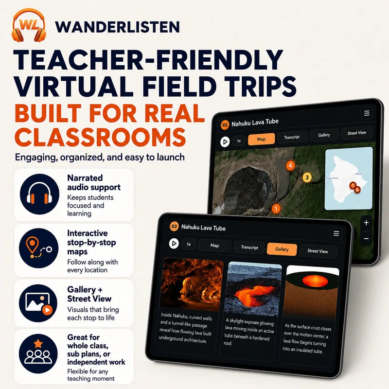
Students open a WanderListen app-style virtual field trip with about 21 minutes of narrated audio, exact map-based exploration, an 8-image instructional gallery, and classroom-ready response activities.
Try a complete WanderListen National Park lesson free first.
Get the Grand Canyon National Park Virtual Field Trip 100% FREE.
Teaching more than one park?
Get all 13 National Park virtual field trips in the complete WanderListen bundle.
What students practice
- Glacial geology: how valley glaciers reshape broad troughs, how alpine glaciers erode cirques, how tarns form, and why ancient rock is much older than the ice that moved it.
- Earth systems and geography: how the Continental Divide redirects drainage, how elevation and mountain climate influence vegetation, and why east- and west-side conditions differ.
- Engineering and public lands: how Going-to-the-Sun Road responds to steep slopes through alignment, rock cuts, retaining structures, drainage, and continuing maintenance.
- Ecology and environmental change: how wildfire disturbance is followed by uneven regeneration and how repeat photography plus mapped glacier margins provide evidence of long-term glacier change.
- Cultural landscapes: how railway tourism changed visitor access while Blackfeet history, the 1895 agreement, 1896 ratification, and continuing Indigenous presence predate and extend beyond Glacier's 1910 park creation.
- Evidence-based thinking: students compare maps and gallery images, explain cause and effect, evaluate dated visual evidence, and support claims with details from specific stops.
What's included
- Completed WanderListen Glacier National Park Virtual Field Trip access through the shared Google folder
- 7 narrated stops with map exploration and an 8-image instructional gallery
- Teacher Guide with pacing options, differentiation notes, standards support, discussion prompts, and robust answer keys
- Student Worksheet with 7 Stop Observation Question blocks and 5 End of Tour synthesis questions
- 10 transcript-matched vocabulary terms
- 10-question self-grading Google Forms quiz and printable multiple choice quiz
- Google Slides/PPTX worksheet, Google Docs/DOCX, PDF, and print-friendly classroom versions
- Start Here PDF that helps teachers make their own Google Drive copies and unlock the tour
Flexible pacing
- 45-minute quick implementation: brief setup, full tour, one response per stop, and a short wrap-up; assign synthesis or the quiz afterward.
- 60-70-minute guided lesson: add fuller map and gallery analysis, worksheet responses, and selected synthesis questions.
- 90-minute two-class option: complete the tour first, then use vocabulary, discussion, synthesis, and assessment.
Best fit: Grades 6-8 and 9-12 Earth and space science, environmental science, geography, geology, ecology, engineering, climate science, public lands, Indigenous history, national parks, and social studies enrichment.
Teacher note: This is a digital classroom resource built around a WanderListen virtual field trip experience. It is not a movie guide, a YouTube clip lesson, or a slide-only virtual tour.
Share