
WanderListen
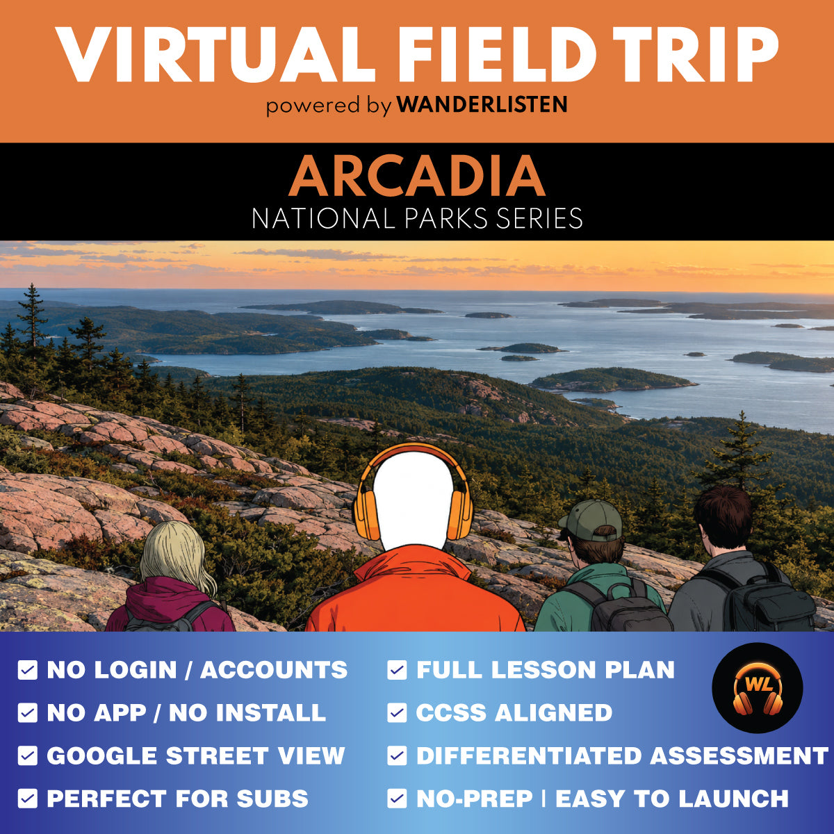
Acadia National Park Virtual Field Trip App Lesson | Audio + Map + Quiz
Acadia National Park Virtual Field Trip App Lesson | Audio + Map + Quiz
Couldn't load pickup availability
Classroom Use at a Glance
WanderListen Acadia National Park Virtual Field Trip lesson for grades 6-8 and 9-12. Includes a 7-stop app-style audio + map tour, 7-image gallery, teacher guide, student worksheet, answer key, 10 vocabulary terms, discussion prompts, 7 Stop Observation Question sets, 5 End of Tour questions, Google Slides/PPTX worksheet versions, self-grading Google Forms quiz, printable 10-question quiz, and Start Here PDF. Designed for a 40-45-minute quick implementation, a 50-60-minute guided lesson, or a 90-minute two-class lesson.
- Resource type
- Virtual Field Trip Lesson
- Grade band
- Grades 6–8 Grades 9–12
- Rating
- Not Rated
- Runtime
- About 21 minutes tour audio minutes
- Time required
- 40-90 minutes
- Prep level
- No Prep
- Subject
- Science Social Studies
- Classroom use
- Sub Plans Whole-Class Instruction Independent Work Homework Discussion Assessment
- Includes
- Teacher Guide Student Worksheet Answer Key Discussion Questions Vocabulary Google Forms Quiz Google Slides/PPTX Printable Quiz Start Here PDF
- Tech format
- PDF Google Slides Google Forms Google Docs PPTX DOCX ZIP
Take students to Acadia National Park with a completed 7-stop WanderListen virtual field trip that moves from the exposed granite summit of Cadillac Mountain to Sand Beach, Thunder Hole, Jordan Pond, Sieur de Monts, Duck Brook Bridge, and Schoodic Point. The lesson turns glacial evidence, shell-rich sediment, wave energy, watersheds, Wabanaki homeland, carriage-road engineering, and Atlantic-coast geography into a place-based grades 6-12 classroom experience.
This is not a simple Google Slides virtual tour. Students open a WanderListen app-style virtual field trip with about 21 minutes of narrated audio, exact Google Maps exploration, seven carefully selected gallery images, and classroom-ready response activities.
Want the best preview possible to know if this will meet your needs?
Download and try The Lexington & Concord Virtual Field Trip 100% FREE!
What students practice
- Earth science and glacial landscapes: how granite formed underground, how moving ice polished and reshaped the landscape, and how glacial deposits helped create Jordan Pond.
- Coastal processes: why Sand Beach collects shell-rich sediment while Thunder Hole and Schoodic Point reveal concentrated wave energy, fractures, and differential erosion.
- Watersheds and public-land management: how surrounding slopes affect Jordan Pond drinking water and why protection depends on decisions about runoff, access, maintenance, and interpretation.
- Wabanaki homeland and cultural continuity: how living Wabanaki communities remain connected to Acadia through travel, gathering, art, knowledge, consultation, and stewardship.
- Engineering and landscape architecture: how the carriage-road system used crowns, ditches, culverts, retaining walls, locally quarried stone, and carefully planned routes.
- Evidence-based thinking: students combine maps, panoramas, gallery images, and narration to explain cause and effect, compare processes at different scales, and support claims with visible evidence.
What's included
- Completed WanderListen Acadia National Park Virtual Field Trip access through the shared Google folder
- 7 narrated stops with Google Maps exploration and a 7-image support gallery
- Teacher Guide with pacing options, differentiation notes, NGSS and CCSS support, discussion prompts, and robust answer keys
- Student Worksheet with 7 Stop Observation Question sets using transcripts, panoramas, maps, and guaranteed gallery images
- 5 End of Tour synthesis questions on coastal processes, glacial evidence, cultural landscapes, engineering, and public-land decisions
- 10 transcript-matched vocabulary terms
- 10-question self-grading Google Forms quiz and printable multiple choice quiz
- Google Slides/PPTX worksheet, Google Docs/DOCX, PDF, and print-friendly classroom versions
- Start Here PDF that helps teachers make their own Google Drive copies and unlock the tour
Flexible pacing
- 40-45-minute quick implementation: brief setup, full 7-stop tour, one response per stop, and a short wrap-up or quiz.
- 50-60-minute guided lesson: add vocabulary, gallery study, map interpretation, all Stop Observation Questions, and class discussion.
- 90-minute two-class option: complete the tour and stop questions first, then use vocabulary, End of Tour Questions, discussion, and assessment.
Best fit: Grades 6-8 and 9-12 Earth science, environmental science, geography, Indigenous studies, Maine studies, national parks, public lands, landscape architecture, and interdisciplinary enrichment.
Teacher note: This is a digital classroom resource built around a WanderListen virtual field trip experience. It is not a movie guide, a YouTube clip lesson, or a slide-only virtual tour.
Share