

WanderListen
Science DIY Virtual Field Trip | Create your own Glacier VFT | Student Project
Science DIY Virtual Field Trip | Create your own Glacier VFT | Student Project
Couldn't load pickup availability
Classroom Use at a Glance
Grades 9-12 WanderListen DIY glacier virtual field trip project. Students research glacier processes and landscape change, build a 6-8 stop tour with Google Maps/Street View, test and exchange .wanderlisten project files, assess a peer tour, and revise. Includes a flexible five-day Teacher Guide, optional digital/print worksheets for Days 1, 3, 4, and 5, Grade 10 exemplar tour, exemplar worksheet, 10-question self-grading Google Forms quiz, printable quiz, answer keys, and Start Here PDF.
- Resource type
- Virtual Field Trip Lesson
- Grade band
- Grades 9–12
- Rating
- Not Rated
- Runtime
- About 225-275 minutes over 5 class periods minutes
- Time required
- 5 class periods (45-55 minutes each)
- Prep level
- Low Prep
- Subject
- Science
- Classroom use
- Whole-Class Instruction Independent Work Homework Discussion Assessment
- Includes
- Teacher Guide Student Worksheet Answer Key Discussion Questions Google Forms Quiz Google Slides/PPTX Printable Quiz Start Here PDF
- Tech format
- PDF Google Slides Google Forms Google Docs PPTX DOCX ZIP
Turn a high school glacier unit into a student-created virtual field trip project. Students research how glaciers form and move, how ice erodes and deposits Earth materials, how scientists measure glacier change, and how glaciers connect with water, sediment, ecosystems, hazards, and communities. Then they use the WanderListen DIY VFT Builder and Google Maps/Street View to create their own 6-8 stop virtual field trip.
This is a creation project, students make decisions about which real places to include, what visible evidence matters, how to explain the science clearly, which sources support their claims, and how a viewer should interact with each stop.
What students practice
- Glacier science: formation, accumulation, movement, erosion, deposition, glacial landforms, melt, and Earth-system connections.
- Evidence and scientific reasoning: distinguishing what a present-day image can show from claims that require time-based evidence such as repeat photography, mapped glacier margins, GPS measurements, satellite observations, or field data.
- Research and source evaluation: using reliable sources to support claims and keeping observation, inference, and evidence clearly separated.
- Geospatial and digital literacy: finding real named places, evaluating Google Maps and Street View views, using exact map links, and building a coherent digital route.
- Communication and design: writing concise stop narration, creating purposeful viewer tasks, testing the tour, and revising after peer feedback.
What's included
- Teacher Guide for a flexible five-day high school science project
- Optional Day 1 Research & Planning worksheet in digital and print-friendly Google Slides formats
- Optional Day 3 Technical Test & Repair worksheet
- Optional Day 4 Peer Tour Learning Assessment plus a Two-Tour Comparison option
- Optional Day 5 Constructive Feedback worksheet
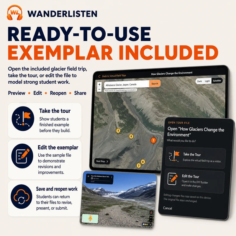
- Grade 10 Glacier exemplar
.wanderlistenproject for modeling or a common-content assessment - Exemplar Tour Student Worksheet and 10-question self-grading Google Forms quiz
- Printable multiple choice quiz and answer keys inside the Teacher Guide
- Start Here PDF with the shared Google classroom-materials folder and DIY Builder links
Flexible pacing
- Day 1: launch, model, research, and optional planning scaffold.
- Day 2: build the 6-8 stop tour directly in WanderListen; no separate worksheet is required.
- Day 3: finish building or use the optional technical test-and-repair workflow.
- Day 4: take a classmate's tour and complete an optional peer-learning assessment.
- Day 5: use constructive feedback and revision, or load the included exemplar for a common assessment.
Worksheet flexibility: The worksheets are optional supports, not required busywork. Teachers can use, shorten, combine, or omit them depending on student independence, available time, and how quickly the class learns the WanderListen builder.
Best fit: Grades 9-12 Earth science, environmental science, geology, climate and cryosphere units, research projects, project-based learning, digital literacy, and place-based science.
Technology: Students need an internet-connected laptop or Chromebook, Google Maps/Street View, and the WanderListen DIY VFT Builder. The finished student project can be exported as a portable .wanderlisten file for backup, exchange, submission, and revision.
Share